Honningsvåg to Alta
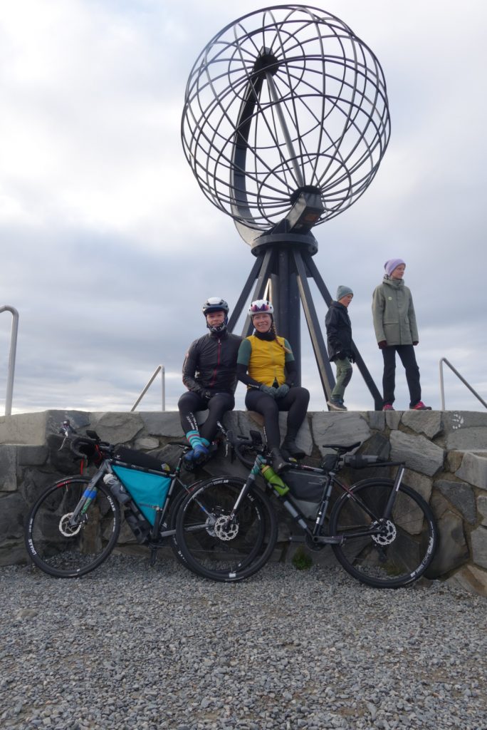
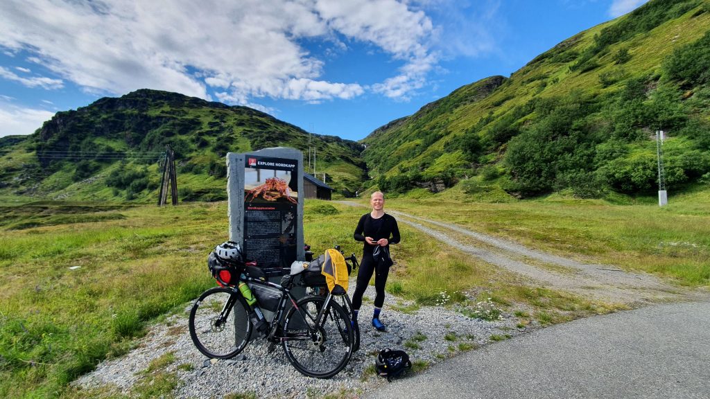
Disembarking in Honningsvåg, we head north towards Nordkapp. This is the northernmost point of Norway accessible by road, and a popular tourist attraction. We then turn towards Alta, some 270 km to the south. After cycling along the Porsangerfjord we will cross Sennalandet, famous for its exposure for the winds.
This stage will hopefully take us about 2 days, dependant on weather and our wear and tear.
Logistics
- Ferries
- Long distances between stores
- Sketchy tunnels
N/A
| Where | What | KM from last | Opening hours | Comments |
| Honningsvåg | Groceries | 07-23 / 12-18 sunday | extra, rema. | |
| Honningsvåg | Hotell/ frokost? | Breakfast at scandic bryggen or scandic honningsvåg? | ||
| Nordkapp | kiosk / restaurant | 11-01 alle dager | ||
| Honningsvåg | Bensinstasjon | 09-17 / 12-16 | ||
| Olderfjord | Kro / butikk | 97 | 09-18 | Sunday? |
| Skaidi | Kro / butikk | 20 | 08/10-22 | Also Sunday. |
| Alta | groceries | 85 | 07 – 23 | Kiwi, extra, hotell, restaurant |
Long tunnel just after Honningsvåg south
Route: E69
Length: 6900m
Lighting: yes
Comments : This tunnel links the island of Mageryøa to mainland Norway at a depth of 230 meters under the sea. 10 percent descent for 3 km, 1km flat, then 10% ascent for 3 km.
Some tunnels along Porsangerfjorden before Olderfjord.
343
kilometers cycled
3437
meters climbed
Route
© OpenStreetMap contributors
Total distance: 270.55 km
Max elevation: 388 m
Min elevation: 1 m
Total climbing: 4159 m
Total descent: -4084 m
Max elevation: 388 m
Min elevation: 1 m
Total climbing: 4159 m
Total descent: -4084 m


